Arctic sea ice extent among lowest on record
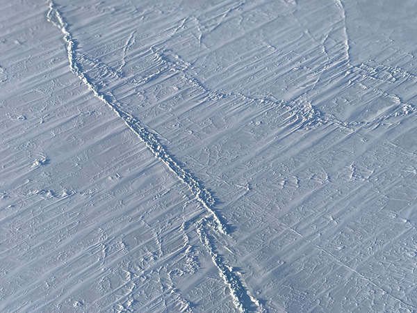
The National Snow and Ice Data Center (NSIDC) has recorded that on 17 March, the Arctic sea ice pack reached its likely maximum extent for 2018. The area is 14.48 million square kilometers (5.59 million square miles) which is the second lowest in the 39 year satellite record. In the Southern hemisphere, the minimum extent of sea ice was recorded on 20 and 21 February, with it also being the second lowest in the satellite record.
Science Daily reports:
“The decline of the Arctic sea ice cover has myriad effects, from changes in climate and weather patterns to impacts on the plants and animals dependent on the ice, and to the indigenous human communities that rely on them. The disappearing ice is also altering shipping routes, increasing coastal erosion and affecting ocean circulation.”
The sea ice has been affected by rising temperatures since 2010. For 2017, temperatures at the 925 hPa level (about 2,500 feet above sea level) remained well above average through most of winter, February saw an extreme heat wave over the Arctic Ocean, with temperatures climbing more than 40° above average in some regions. This is the fourth winter in a row that such heat waves have been recorded over the Arctic Ocean.